
Field validation
Real rural-property conditions, documented observations, and clearly stated limitations.
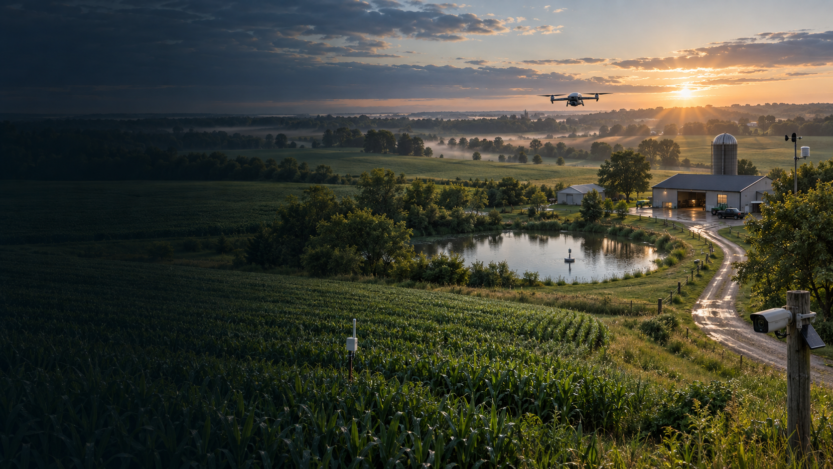
WDC product · Field validation underway
Field Command is being developed to help farms, ranches, and rural properties understand changing conditions and focus attention where it matters.
In development · Not represented as production-ready
Built around the property
Field Command is being evaluated through real property conditions on a 75-acre Minnesota site. Public information focuses on the problem, field-validation priorities, and ways qualified organizations and operators can participate.
Protected by design. WDC does not publish Field Command’s internal software, data, automation, or operating methods.
Current public focus
WDC is building credible evidence, partner relationships, and operating boundaries before making broader product claims.
Real rural-property conditions, documented observations, and clearly stated limitations.
Drones, docking systems, sensors, connectivity, and supporting field technology.
Technology companies and drone pilots prepared to work within defined evaluation requirements.
Partner programs
Field Command is seeking relevant technology and qualified field operators while the platform remains under development.
For drone, dock, sensor, connectivity, and rural-technology companies interested in structured field evaluation.
View the hardware program →For qualified drone pilots interested in repeatable rural missions, field validation, and future service coverage.
View the pilot program →Field Command
See current evaluation priorities, partner requirements, and Field Command development status on the dedicated product site.
Visit Field Command →