Observe change
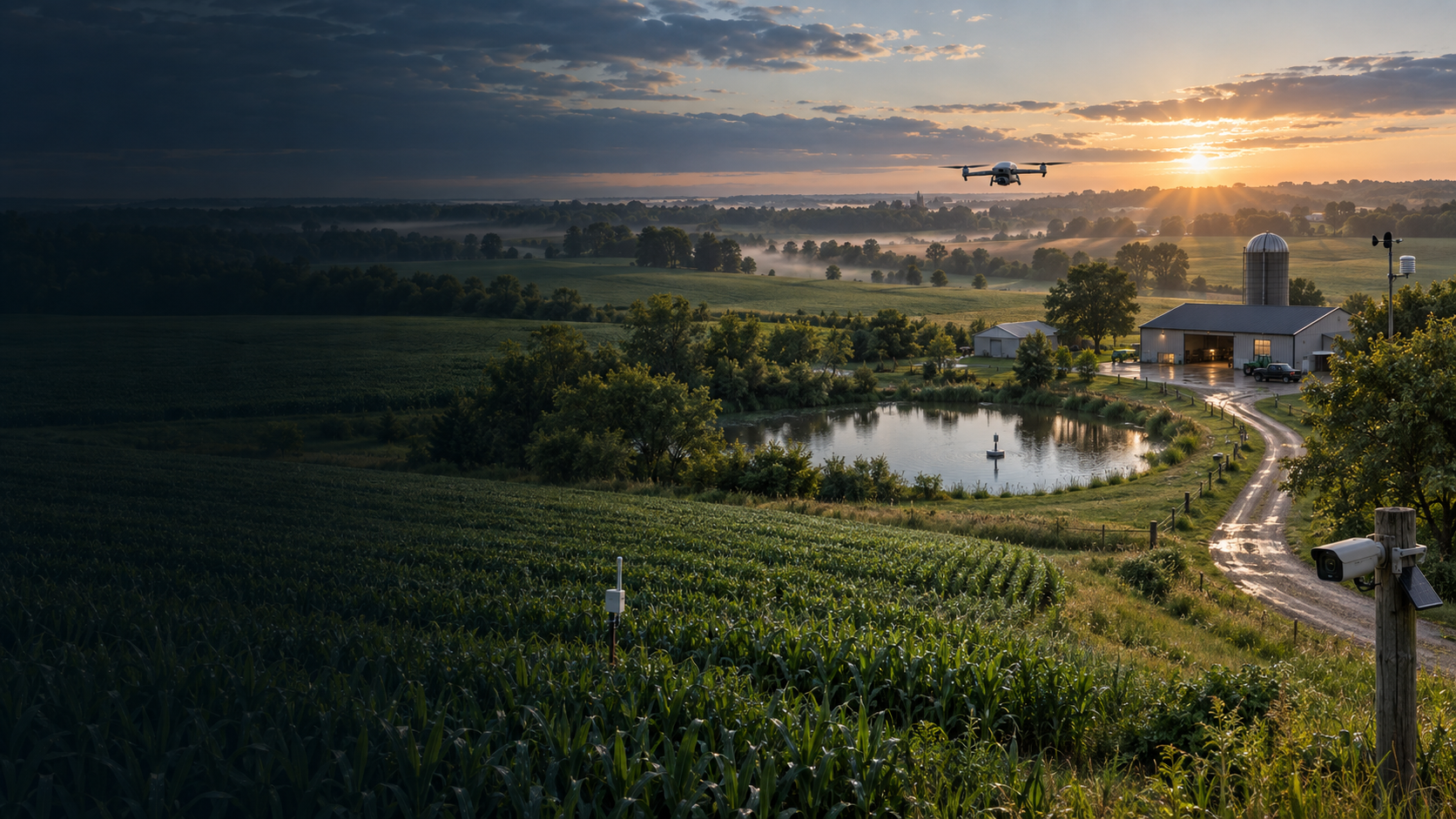
Evaluate how field observations can improve awareness across a working rural property.
Field Command · A WDC product
Property intelligence in development for farms, ranches, and rural properties—currently being evaluated through real field conditions.
Field validation underway · Not represented as production-ready
Built around the property
Field Command is being developed to help rural-property operators understand changing conditions and focus attention where it matters.
Current public work centers on field validation, hardware evaluation, qualified pilot participation, and clearly documented operating boundaries.
Protected by design. WDC does not publish Field Command’s internal software, data, automation, architecture, or operating methods.
Current validation priorities
Evaluate how field observations can improve awareness across a working rural property.
Assess drones, docking systems, sensors, connectivity, and supporting field technology.
Document useful findings, limitations, and repeatable field-validation results.
Work with Field Command
WDC is building relationships with relevant technology providers and qualified field operators while validation continues.
For organizations developing drones, docks, sensors, connectivity, power, and other technology suited to rural field operations.
Explore the hardware program →For drone pilots interested in repeatable rural missions, documented field validation, and potential future service coverage.
Explore the pilot program →Field Command
Contact WDC to discuss relevant technology, field experience, or a potential validation relationship.